| Friends Of The Little Bighorn Battlefield |
The Next Generation In The Study Of Custer's Last Stand |
Geophysical Survey |
| • The Battle • Archeology • Memorials • Little Bighorn Store • News • Book Reviews |
|
|


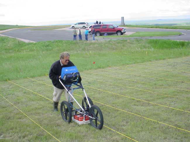
Photos courtesy James Woodcock Gazette staff
Whether someone was buried in the suspected rifle pit won't be determined by archaeologists this season. Technologies used to survey under the surface cannot identify bone, archaeologist Steven DeVore said. No excavation is planned.
Conductive Survey
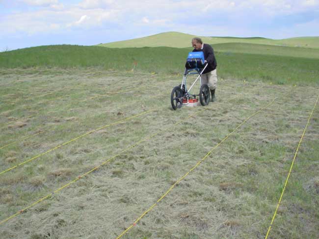
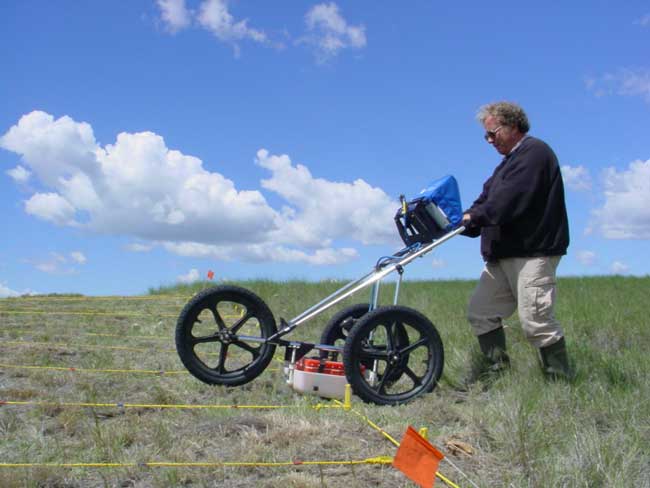
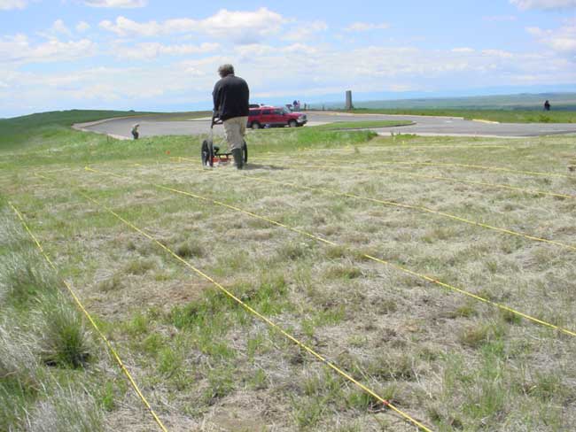
DeVore, who works with Scott at the National Park Service Midwest Archaeological Center in Lincoln, Neb., toiled through a windy, cold and often rainy week, walking scientific equipment in straight lines a meter apart. Battling the elements and a miserable cold, DeVore paused briefly to try to explain complex technology in simple terms.
A beeping orange bar sweeping along lines marked by yellow rope provided information for a "conductivity survey," he said.
"It sends an electromagnetic signal to measure how conductive soils are,'' he told a puzzled reporter. "Soils that have been disturbed may have a different texture and consistency than surrounding soils.''
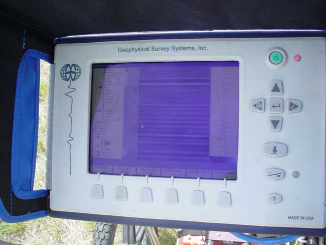
The conductive survey picked up an anomaly about four feet from the parking lot sidewalk, in the same shape and in the same place a magnetometer survey had recorded an anomaly the day before. To complete the study, DeVore will check the area with ground-penetrating radar to get a profile of the anomaly. The radar will also provide information on how deep it is.
Surveys concluded last week were required as part of a project to rebuild and widen a five-mile stretch of tour road that connects the Custer battlesite with the Reno-Benteen site. The anomaly found near the parking lot will not be in the construction path, so there is no need to excavate it, Scott said.
He said the area that will be affected by the road project didn't produce any significant readings during the survey. If they had turned up a potential archaeological site, a report would be submitted to battlefield administrators with recommendations that the road be redesigned around it or that the site be excavated in advance of construction.
Battlefield Road Construction
Battlefield Superintendent Darrell Cook said the start of road construction will depend on passage of a highway bill in Congress. If a bill gets through this year, he said, contracts could be ready by fall. Doerner said he expects work to begin in the fall of 2006.
Some parts of the tour road are only 17 feet wide, Cook said, a tough squeeze for large RVs that have become increasingly common. To comply with state and federal regulations, the redesigned tour road will meet minimum standards of 24 to 28 feet, he said.
For years, the Park Service has been discussing implementation of a mass transit system to carry tens of thousands of summer visitors between the two battlefields. Widening the road will accommodate future transportation systems, he said.
When the original tour road was built, no archaeological survey was done, even where it crossed areas of the most intense fighting. Doerner and Scott plan to be right behind crews tearing up the road - metal detectors in hand - surveying every inch of the bed. They'll be looking for evidence of how the battle was fought and whether warrior accounts and the physical remains of the battle can be reconciled.
"What's so exciting about the story of the Little Bighorn is that it's still evolving,'' Doerner said.
Photos below provided by the Little Bighorn Battlefield National Monument shows the use of the ground penetrating radar at Reno Benteen
Archeology Home
Copyright 1999-2013 Bob Reece
Revised:
Monday June 01, 2015
Friends Little Bighorn Battlefield, P.O. Box 636, Crow Agency, MT 59022
| Home |
Board of Directors |
Guest Book | Contact | Site Map
|![]() |
|![]()